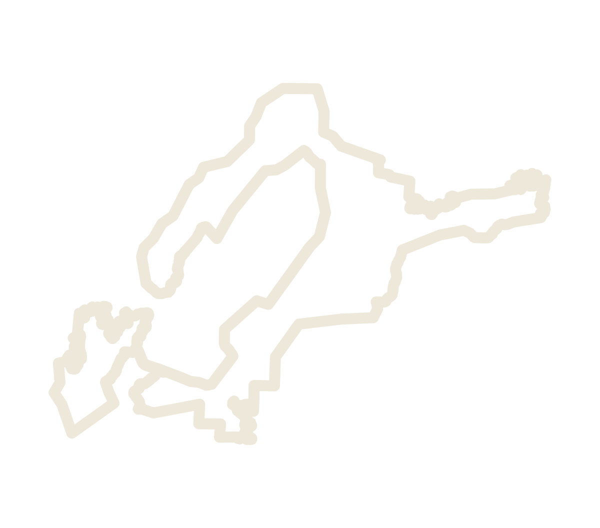
The proposed revision
The boundary is drawn on the thirteen USGS 1:24,000 historical quadrangles, step by step, from TTB’s published description with the changes the petitioners discussed with TTB. Every step, and every difference from the AVA Map Explorer polygon, is on the live map.
Open the live map