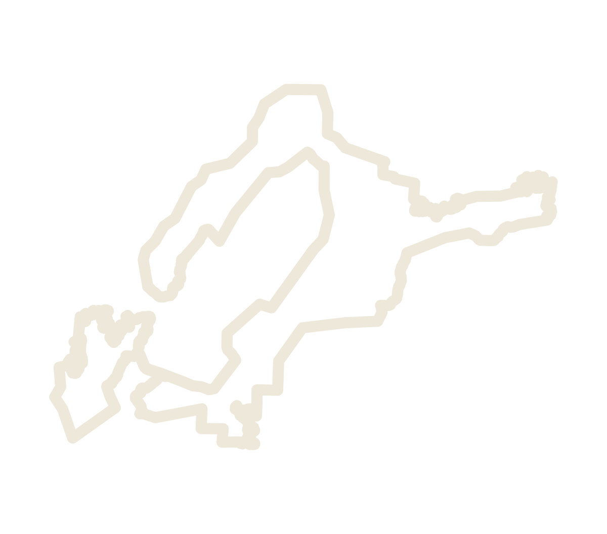
The boundary
The ground
sets the line.
Hickory Sandstone Member
of the Riley Formation,
at 1,500 feet and higher.
USGS historical survey maps · NAD83 / UTM zone 14N (EPSG:26914)
Display line simplified by 12 meters. The source GIS retains the full geometry.
The line follows the sandstone at 1,500 feet and higher, drawn to leave most of the Llano Uplift’s granite core outside.
Open the mapWalk the line, step by stepThe public record
Maps. Documents.
The line itself.
The boundary files are dedicated to the public domain under CC0 1.0. Notice No. 243 is a U.S. Government work.