Colophon
Sources &
photography.
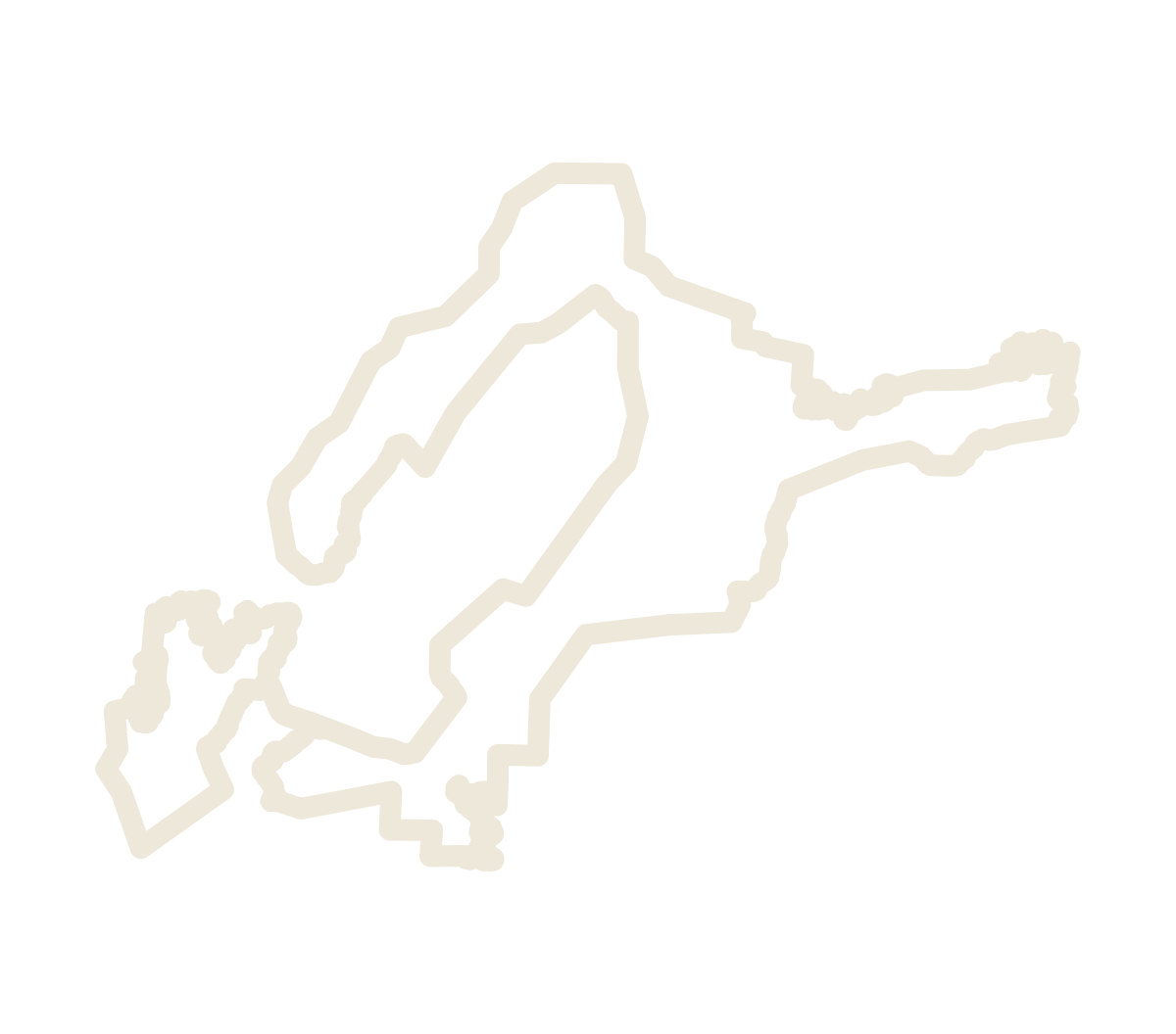
The line
The boundary shown is the petitioners’ proposed revision of , drawn from TTB’s published description on the USGS 1:24,000 historical quadrangles. On this site it is simplified by 12 meters for display; the full geometry is in the public GIS files.
The maps
USGS historical topographic quadrangles, public domain.
The record
Notice No. 243, 91 FR 52576, is a work of the United States Government. The boundary files are dedicated to the public domain under CC0 1.0.
Photography
Robert Clay Vineyards, from robertclayvineyards.com. The photographs are not part of the CC0 dedication.
Type
Cormorant Garamond and Source Sans 3, served by Google Fonts under the SIL Open Font License.
The vineyard form
“Add your vineyard” on The vineyards draws on Esri’s World Imagery and searches with Esri’s geocoding service. What is sent goes to a function hosted by Supabase, which keeps the sender’s name, phone and email in a private table and posts the vineyard’s public details as an issue on GitHub.
The site
Built in the open at github.com/danshome/hickory-sands-district-ava and published with GitHub Pages.
This site uses Google Analytics to count visits and see which parts of the site are used, such as the map’s layers and the steps of Walk the line. It does not use Google’s advertising features, and nothing you type is sent to it.