01 / Formation
Hickory Sandstone
Member of the
Riley Formation.
Sand laid down in a Cambrian sea.
Roughly half a billion years ago.
 Hickory Sands
Mason · McCulloch · San Saba · Llano
A place defined by what lies beneath.
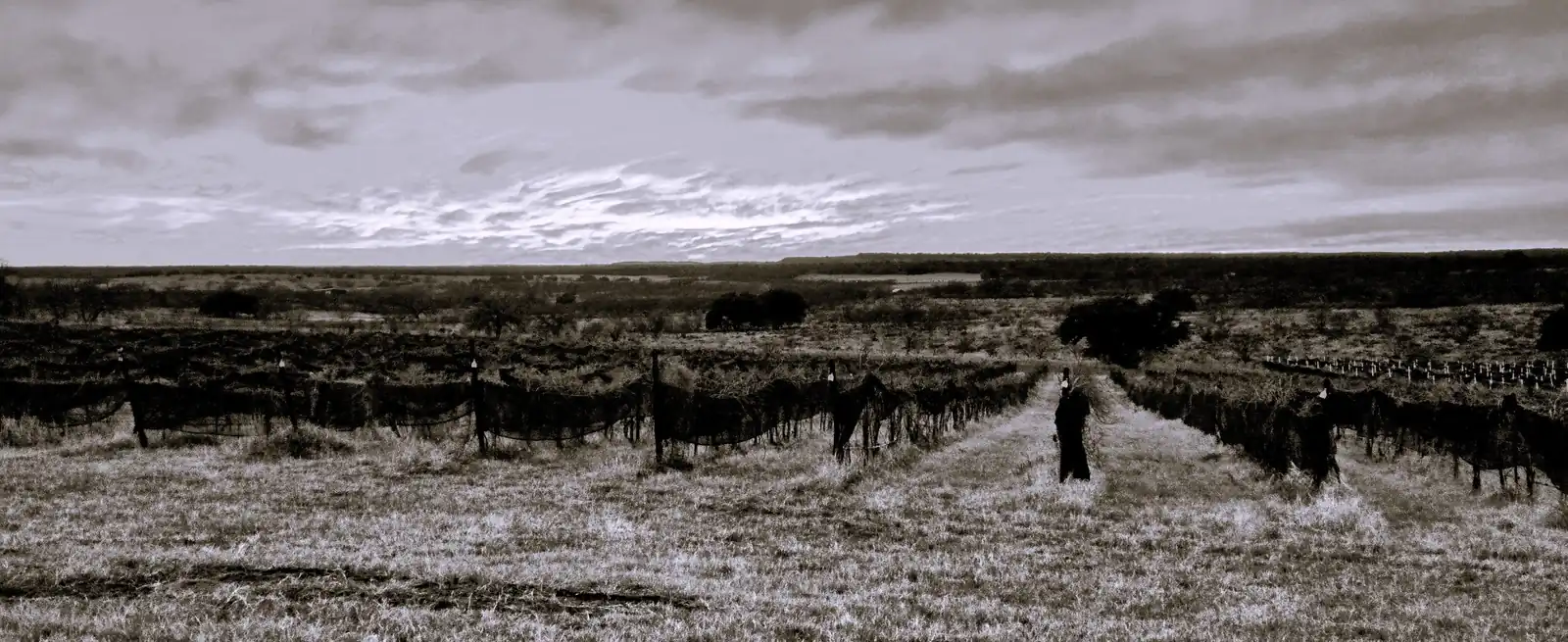
A place within a place
Texas Hill Country AVA
Llano Uplift proposed AVA
Hickory Sands District proposed AVA
Within the proposed Llano Uplift AVA,
within the Texas Hill Country AVA.
Petitioners’ proposed revision
USGS historical survey maps · Display line simplified
The ground sets the line
01 / Formation
Sand laid down in a Cambrian sea.
Roughly half a billion years ago.
02 / Elevation
Sandy, well-drained ground.
Drawn to leave most of the granite outside.
03 / Scale at petition
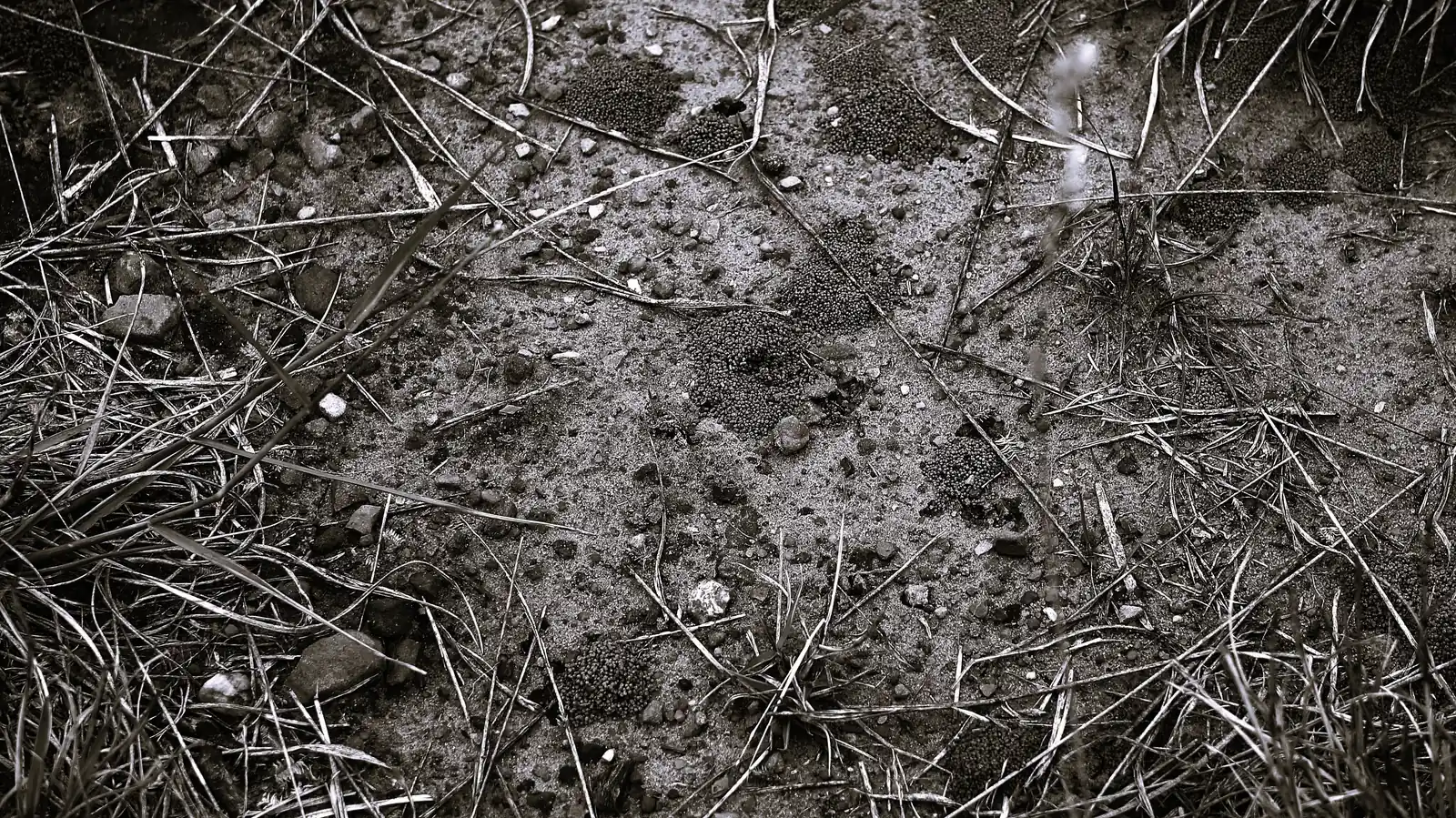
Further in